Katja Baumann · 12 September 2026
School Curriculums Take Root as Lichtwald's Young Stewards Map Local Ecosystem Changes
School programs across Lichtwald have integrated practical environmental mapping exercises into standard science curriculums, where students collect and analyze data on forest conditions, species distributions, and habitat shifts, and this development has expanded steadily over recent academic years. Local education authorities worked with environmental groups to design modules that fit existing lesson plans, so participants learn data recording techniques while contributing to ongoing records of the area's woodlands. Teachers report that these activities align with biology and geography requirements, allowing classes to spend time outdoors gathering observations that supplement textbook content.
Program Structure and Student Roles
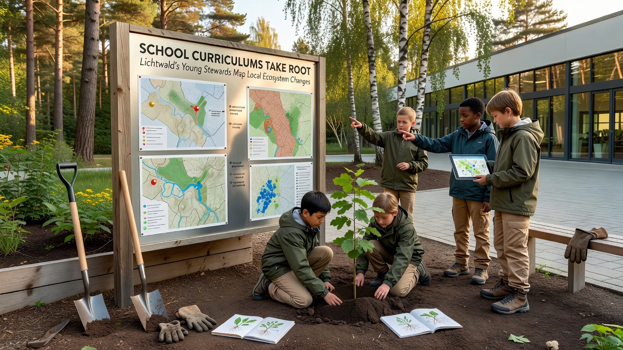
Classes in secondary schools now dedicate several weeks each term to fieldwork sessions, during which groups of students divide tasks such as vegetation sampling, water quality testing, and wildlife sighting logs, and they compile findings into shared digital databases maintained by the district. Younger participants handle basic identification while older ones manage coordinate plotting with GPS units and prepare summary reports that compare current readings to historical benchmarks from the same sites. The structure encourages teamwork, since each team covers a designated plot and cross-checks results with neighboring groups to reduce errors before submission.
Methods Used for Ecosystem Documentation
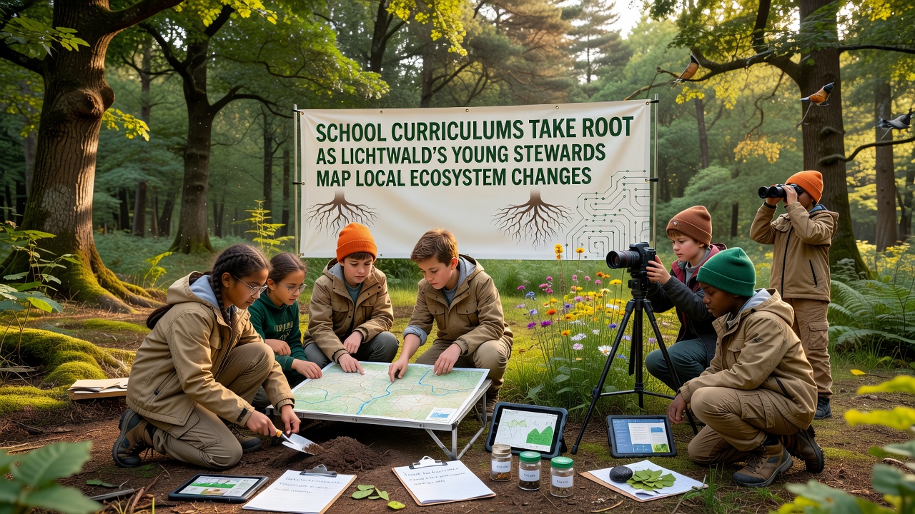
Participants follow standardized protocols that include transect walks, quadrat counts, and photo documentation at fixed points, which produces consistent datasets suitable for trend analysis over multiple seasons. Schools supply tablets loaded with mapping software, and students upload entries directly from the field so supervisors can review accuracy in real time and flag any anomalies for follow-up visits. Data collected covers tree health indicators, understory plant density, insect populations, and soil moisture levels, all recorded with timestamps and location stamps that allow later spatial modeling.
Partnerships Supporting the Initiative
Local forestry offices provide training workshops for educators, while regional research stations offer equipment loans and occasional guest lectures that connect classroom work to broader monitoring efforts. These collaborations ensure the student-collected information meets quality thresholds for inclusion in official regional assessments, and several plots now appear in public datasets released by district agencies. Schools also receive updates from partner organizations about how their contributions fit into larger studies, which reinforces the practical value of the exercises for participants.
Progress Recorded by September 2026
By September 2026 the program had expanded to include primary-level classes that focus on simpler observation tasks, and cumulative records from student teams showed measurable shifts in certain plant species coverage across monitored zones. District reports note that repeated measurements from the same locations allowed identification of areas experiencing gradual changes in canopy cover and ground vegetation patterns, and educators incorporated these localized examples into lessons on ecological succession. The expanded reach meant more sites received annual coverage, which improved the resolution of maps produced from the combined student and professional data streams.
Skill Development and Curriculum Outcomes
Students practice statistical basics when they calculate averages and variances from their sample sets, while map interpretation exercises build spatial reasoning that transfers to other subjects such as mathematics and social studies. Assessment rubrics evaluate both the accuracy of field entries and the clarity of final presentations, where teams explain their findings to peers and sometimes to visiting community members. Educators observe that repeated exposure to the same locations across years helps participants recognize seasonal cycles and longer-term patterns without requiring external instruction for every detail.
Conclusion
The integration of ecosystem mapping into Lichtwald school curriculums has created a steady flow of localized environmental data while meeting established educational standards, and ongoing refinements continue to adjust protocols based on feedback from both teachers and partner agencies. Records compiled through these efforts now form part of the area's documented environmental history, supporting future comparisons as additional classes complete their fieldwork cycles each year.