Kai Schmidt · 7 November 2026
Lichen Losses Trigger Fresh Monitoring Tactics in Lichtwald's Understory Layers
Researchers tracking forest health in Lichtwald have documented steady reductions in lichen populations across the understory layers, and these changes have prompted a shift toward layered monitoring systems that combine remote sensing with ground-based surveys. Data collected over the past decade shows lichen cover dropping in shaded zones where moisture retention once supported diverse species, while the losses coincide with shifts in canopy density and soil moisture patterns recorded since 2018.
Role of Lichens in Understory Ecosystems
Lichens function as sensitive indicators because they absorb nutrients directly from the air and respond quickly to alterations in humidity and light penetration. In Lichtwald the understory supports species that fix nitrogen and stabilize microhabitats for invertebrates, and observers note that declines here often precede broader changes in moss and fern communities. Studies from similar temperate forests indicate lichen biomass contributes measurable amounts of organic matter to the forest floor each season, a process that slows when populations thin.
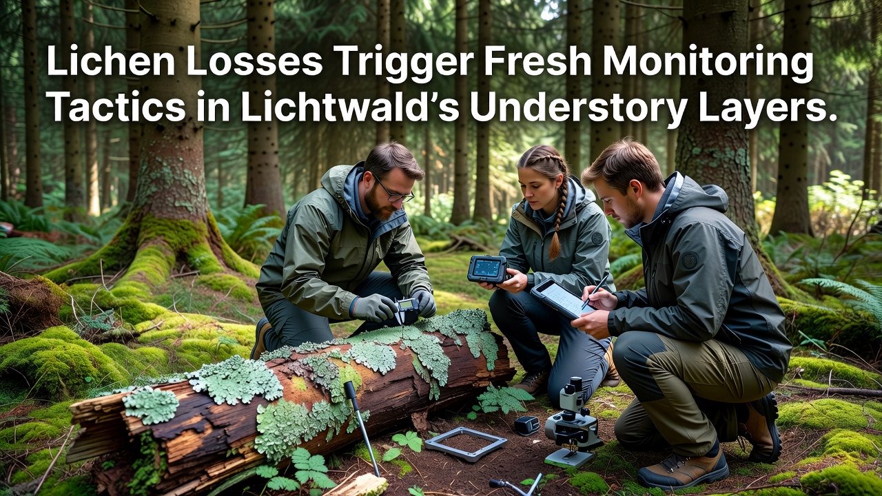
Monitoring teams began recording baseline lichen distributions in 2022 using standardized quadrat sampling, and those initial figures revealed higher densities on north-facing slopes where shade and dew accumulation remain consistent. By late 2025 the same plots showed measurable reductions in both thallus size and species richness, prompting the forest management group to expand data collection protocols.
Observed Patterns and Data Collection
Figures compiled through repeated visits document the steepest losses occurring between 1.5 and 3 meters above the ground, a band where light levels have increased following selective canopy openings. Researchers cross-referenced these observations with temperature and humidity loggers installed at 50-meter intervals, and the combined records point to drier microclimates during summer months as a recurring factor. November 2026 marks the start of an expanded sensor network that will log conditions at finer temporal resolution across 120 additional understory stations.
One long-term plot near the central drainage line illustrates the trend: lichen coverage fell from 68 percent in 2021 to 41 percent in 2025, while neighboring plots with intact canopy retained closer to 60 percent. These numbers align with regional surveys conducted by the European Environment Agency that track epiphytic communities across central European woodlands.
New Monitoring Approaches
Forest managers responded by deploying multispectral drones equipped with lichen-detection algorithms calibrated against verified ground samples. The drones fly at 40-meter altitude twice monthly, capturing reflectance values that distinguish healthy lichen mats from bare bark or competing moss. Ground crews then verify flagged areas using portable spectrometers, reducing the time required for full understory coverage from weeks to days.
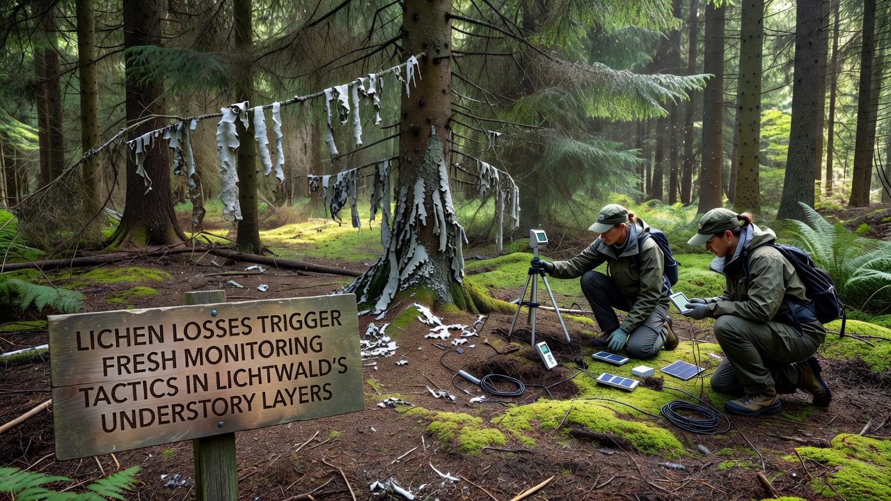
Additional tactics include acoustic sensors that record moisture-related sounds from bark surfaces and citizen-science apps that let trained volunteers upload geolocated photos for expert review. The University of British Columbia’s forestry lab has shared open-source software that processes these images to estimate lichen surface area, and Lichtwald teams adapted the code for local species assemblages. Integration of historical logging maps with current canopy data further refines placement of new monitoring stations in zones previously identified as high-risk.
Teams also test passive diffusion tubes for ammonia and sulfur dioxide at selected understory sites, since these compounds can affect lichen physiology even at low concentrations. Early readings from tubes deployed in October 2026 remain within background ranges, yet continued collection will establish seasonal baselines for comparison against future measurements.
Integration with Broader Forest Records
Officials have linked the lichen program to existing soil moisture arrays and bird-count transects so that changes in one dataset can trigger alerts in others. When lichen indices drop below a set threshold, the system automatically schedules follow-up drone flights and soil core sampling within 72 hours. This coordinated approach draws on methods developed by Australia’s Commonwealth Scientific and Industrial Research Organisation for tracking epiphyte health in eucalypt forests, and Lichtwald staff modified the alert thresholds to match local species tolerances.
Training sessions held in early 2026 prepared 35 local volunteers to distinguish target lichen genera in the field, and their contributions now supplement professional surveys during peak growing periods. The combined dataset feeds into an open repository hosted by the Lichtwald research station, allowing external analysts to run independent models on the raw measurements.
Conclusion
Continued refinement of these monitoring layers will supply the granular information needed to evaluate whether current lichen trends stabilize or accelerate. Regular updates from the expanded sensor grid and drone flights will appear in forthcoming reports, while the integration of volunteer observations with automated tools demonstrates one practical route for scaling ecological surveillance in mixed-use woodlands.